By Road
The most convenient way is to travel via road. Dooars has excellent network and condition of roads. On the way, you will also get to see beautiful and breathtaking views. There are many cab services available from neighbouring cities like Darjeeling and Siliguri. There are few state government buses also which connects Dooars to major cities.
By Train
The New Jalpaiguri Railway station is just few kilometres away from the town, it is one of the biggest railway stations in the city and is well connected to nearby cities as well as key cities of the country. Another station, Madarihat is just 7km away from the Dooars.
By Air
Bagdogra airport is the nearest to Dooars. It is a small domestic airport with flights running from the major cities of the country. Just 12kms from the town, taxies and buses are available from Bagdogra to Madarihat/ Dooars. Nearest Airport : BAGDOGRA - 83 kms.
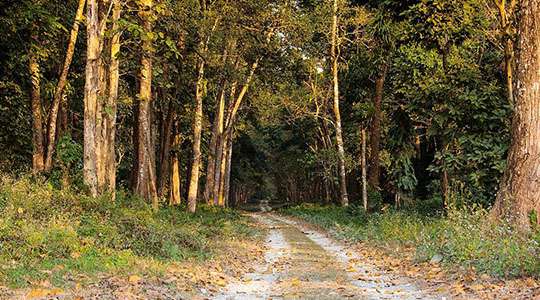
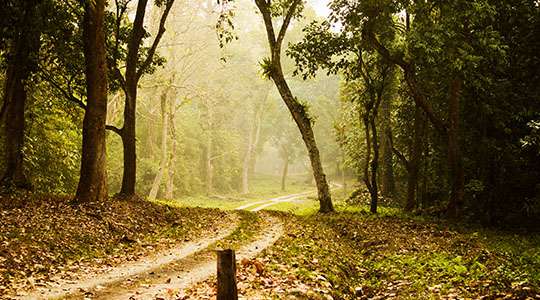
Chilapata Forest
Situated between the two essential national parks, Jaldapara National Park and Buxa National Park, at a distance of 20km from Alipurduar and 51km from Jalpaiguri lays the most important migration corridor of Dooars region, Chilapata forest reserve.
Jaldhaka
Located 99km from Siliguri in the foothills of Himalayan along the bank of meandering river stream is a serene hamlet called Jaldhaka. Perched at an elevation of 1500 ft on the way to Chalsa-Bindu road, Jaldhaka has become a prospective tourist destination of Dooars.
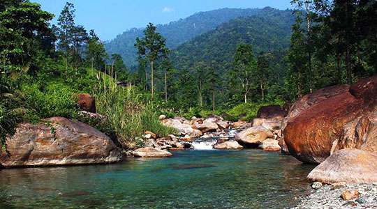
Suntalekhola
Suntalekhola or Suntaley Khola (also Suntaleykhola) is a small village and a tourist spot in the Kalimpong District of West Bengal. The altitude of the place ranges from 650 to 950 m. It gets its name from a small stream: Suntaley Khola. In Nepali language, Suntaley means orange and khola means stream.
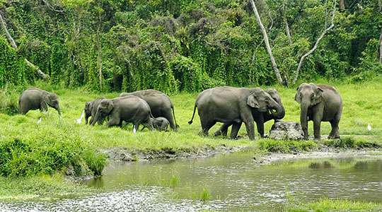
Gorumara National Park
Situated on the banks of rivers Murti and Raidak in the Jalpaiguri district of West Bengal, the Gorumara National Park is a site that you cannot miss to afford on your next trip. Spread over an area of 80 sq.km. it sits prettily at the foothills of Great Himalayan mountains and has a large variety of flora and fauna.
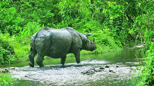
Jaldapara
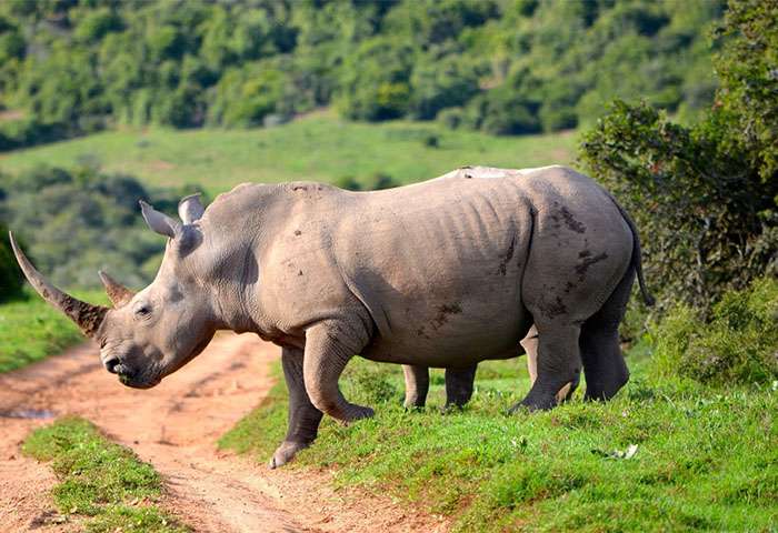
The river Torsha flows through this rain forest sanctuary and have an area of 141 Sq.Km and altitude of 61 m. Jaldapara, the vast grassland with patches of riverine forests was declared a sanctuary in 1941 for protection of the great variety flora and fauna, particularly the one-horned rhinoceros.
Chapramari Forest
Chapramari is a forest in Dooars area of North Bengal. The forest is a continuation of the Gorumara forests. The two forests are separated by the Murti river which passes through the otherwise continuous forest. Whereas Gorumara is a National Park, Chapramari is only is a wildlife sanctuary only.